Meet the mappers - 3 Days of Belgium
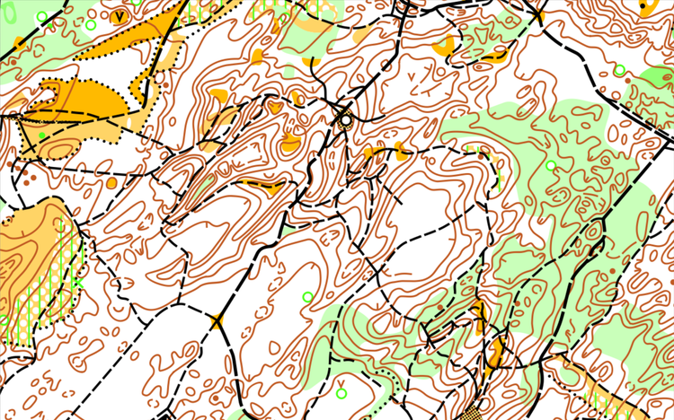
The maps for these 3 days of Belgium were originally mapped in 1985 (Gruitroderbos) and 1991 (Weyervlakte) by Roger Vanaken and Jules Keyken, but the terrain as well as the mapping technique changed incredibly.
Especially for this event, another Omega mapping team, Bart Van de Moortel and Chris Addiers (both 35 years of experience in mapping for Omega) used LIDAR data and gps technology to correctly position the intricate small contour lines and the dense network of small tracks. All this in line with ISOM 2017.
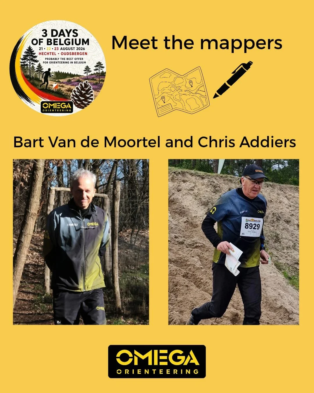
It took 25 days of fieldwork and some 80 hours of OCAD design work to realize both maps.
As they waited as long as possible to get the most comparable situation with the midsummer vegetation, they were confronted with a double heatwave with extreme temperatures, which forced them to start mapping early in the morning as soon as the sun rised.
The organising team of the 3 days of Belgium hope you all will enjoy the mapping of this beautiful terrain with plenty of land dunes.